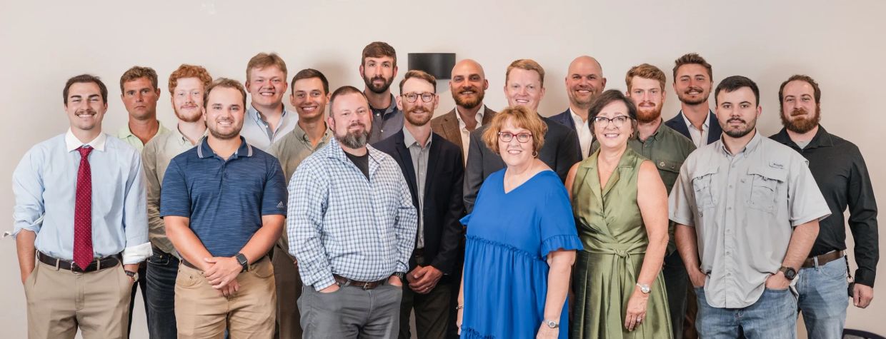
With almost 70 years of combined technical experience, we are poised to make your next project a success. We have four licensed land surveyors, four licensed Part 107 pilots, two licensed Land Surveying Interns, two certified ground penetrating radar (GPR) technicians, and two Level 1 certified surveying technicians (CST) on staff to help make your next project a success. This experience has allowed Halliburton Surveying to successfully take on some of the region’s largest and notable projects, while offering simple solutions to solve the many challenging project needs.

Troy Halliburton, PLS, CEO & Principle Land Surveyor
As the founder and co-owner of Halliburton Surveying & Mapping, Inc., Mr. Halliburton has 30 years of diverse experience in land surveying. He received a Bachelor of Science degree in Land Surveying & Mapping Sciences from East Tennessee State University. He is a licensed Professional Land Surveyor in the states of Alabama and Tennessee. Mr. Halliburton has also previously served multiple terms on the Executive Board and is the Immediate Past President of the Alabama Society of Professional Land Surveyors. He currently serves as the National Society of Professional Surveyors State Director of Alabama.
Rusty Blackwell, PLS, COO & Senior Project Manager
As the HSM's COO and a partner, Mr. Blackwell has 23 years of experience in the field of Land Surveying. He received a Bachelor of Science degree in Geomatics from Troy University. He is a licensed Professional Land Surveyor in the states of Alabama, Mississippi, and Tennessee. Mr. Blackwell is currently serving as Chair of the Surveying and Geomatics Sciences Program Advisory Board at Troy University, serving as Chair of the Board of Directors for the Associated Builders and Contractors North Alabama Chapter, served a 6-year term on the Alabama Underground Damage Prevention Authority, and was the 2018-2019 President of Alabama Society of Professional Land Surveyors and served 3 years on their Executive Board.