Alabama Land Surveying

Halliburton Surveying & Mapping offers a wide variety of Land Surveying services.
- Construction Layout & As Built Surveys
- ALTA/NSPS Land Title Surveys
- Boundary Surveys
- Record Surveys
- Topographic Surveys
- Control Surveys
- Deformation Monitoring Surveys
- Right-of-Way (Easement) Surveys
- Volumetric Surveys
- FEMA Elevation Certificates, LOMR-F
- Utility Surveying
- 3D High Definition Laser Scanning
- Drone (UAS) Surveying
- Geographic Information Systems (GIS) Database Development
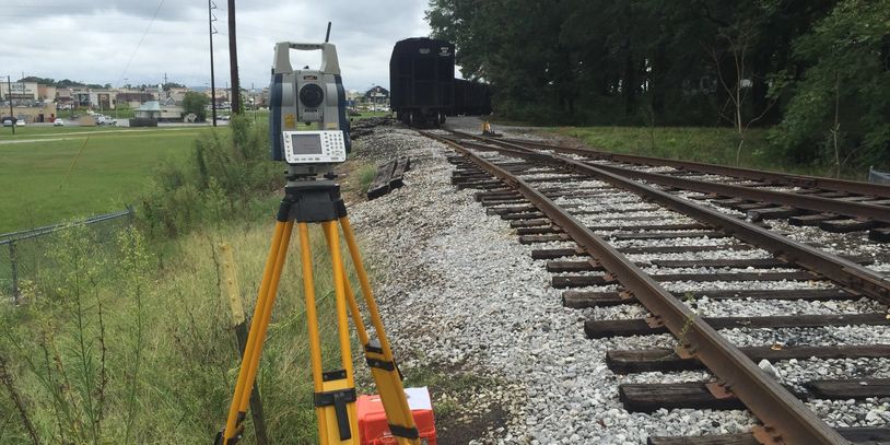
HSM carefully selects the right tools for each project. The Majority of field measurements are collected utilizing Robotic Total Stations, Global Positioning Systems (GPS) and 3D Laser Scanning.